Alta Via 1
Experience the natural wonder of the Dolomites on a 9-day trek from one mountain hut to another
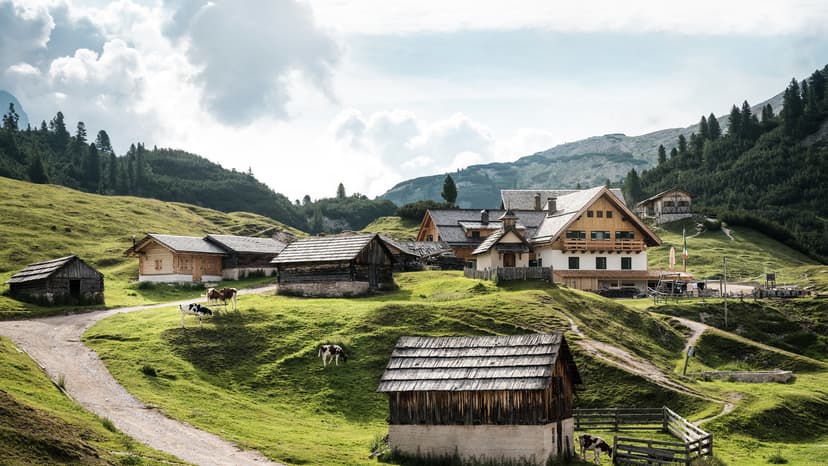
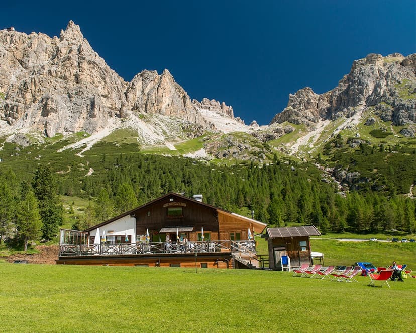
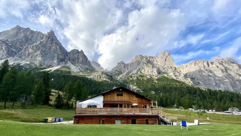
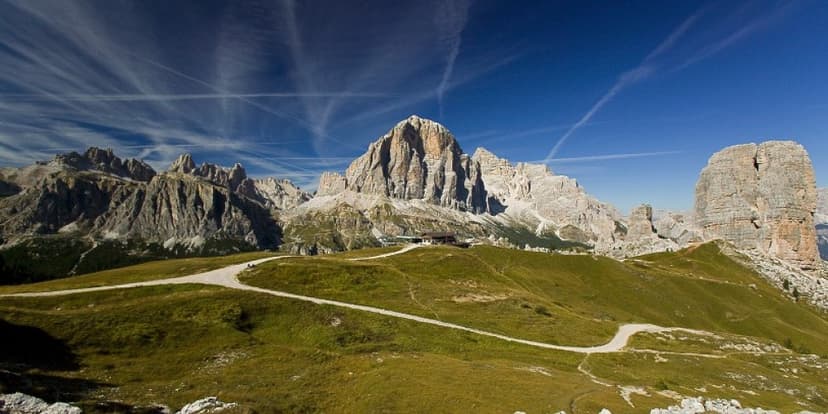
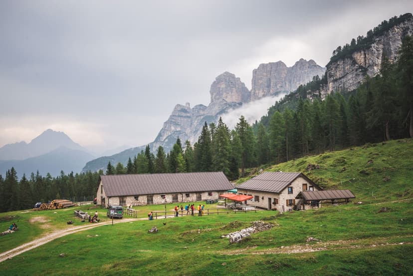
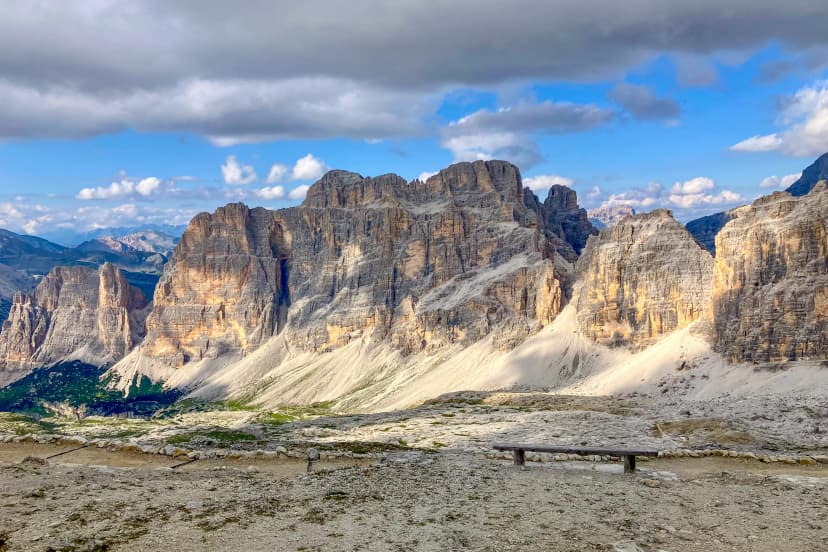
Marvel at the panoramic vistas and hike through the most charming spots in the Dolomites
Explore two of the region’s most famous mountain passes, Passo Giau and Falzarego Pass
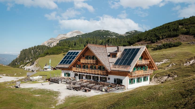
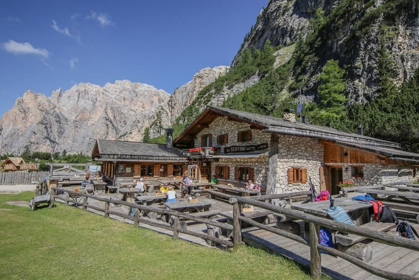
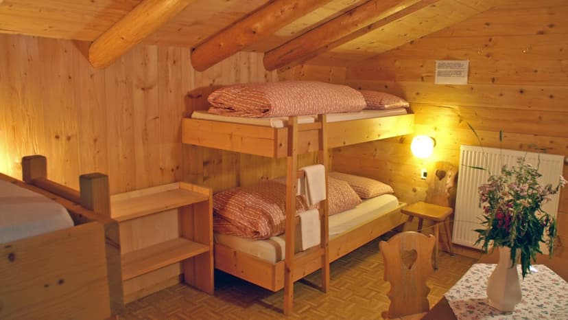
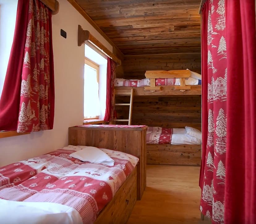
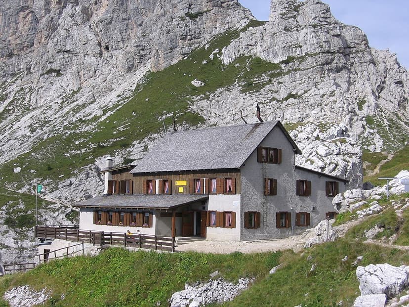
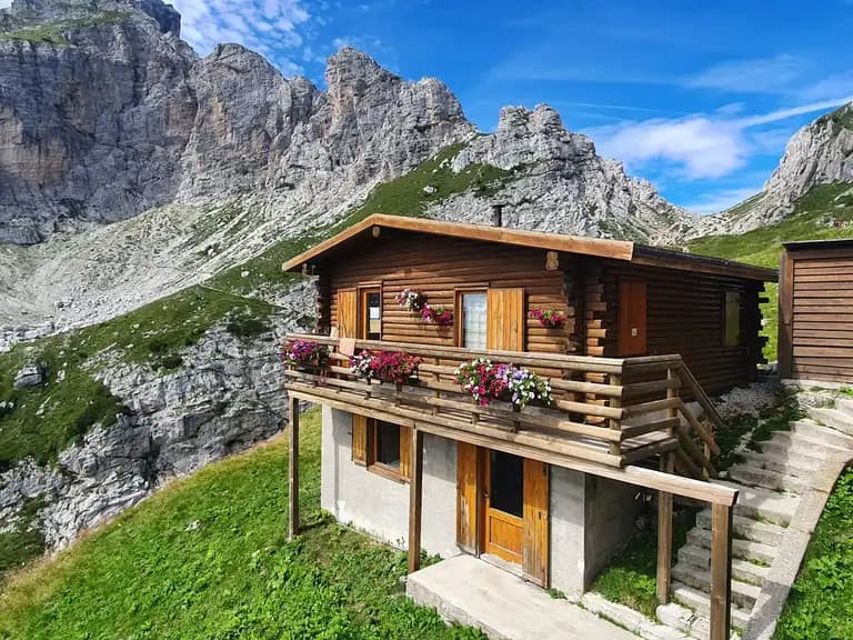
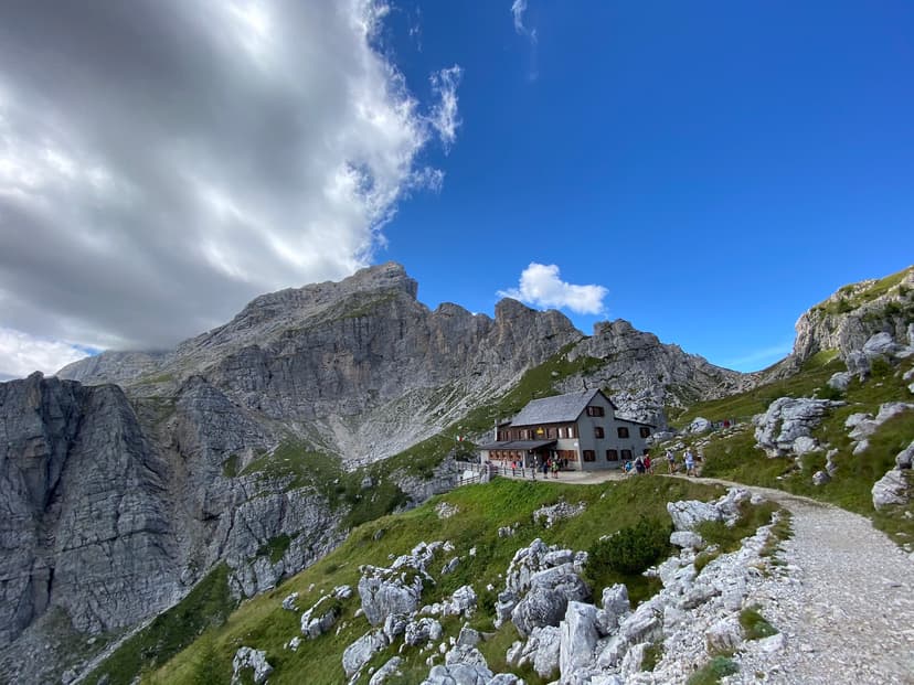
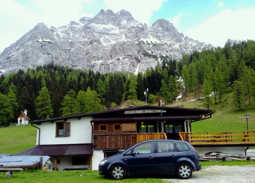
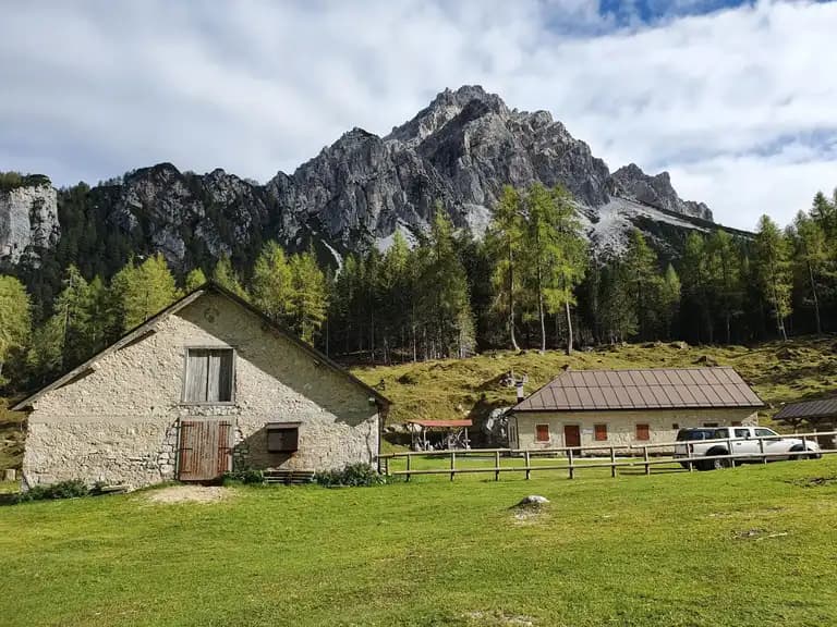
Savor the traditional local cuisine while lodging in authentic “rifugios”
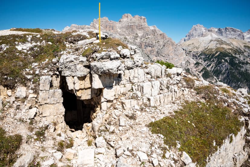
Learn about the rich history of the region and explore the remnants of World War 1
Itinerary
After a brief bus transfer from Dobbiaco, your adventure begins at Lago di Braies — a stunning alpine lake tucked between steep rock faces and towering peaks in the northern part of the Dolomites. You can admire the surroundings while ascending toward the Forcella Sora Forno mountain pass. Depending on availability and preference, you can stay the night at Rifugio Biella or continue until you reach Rifugio Sennes beside the Senessee Lake upon a gently downwards-sloping path.
6.4 km and 930 m of elevation gain / 100 m of elevation loss
Rifugio Biella / Rifugio Sennes
The day begins with a descent towards Rifugio Pederu, where a military camp used to stand during WW1. On your way, you will cross a lively mountain stream. You’ll either spend your night here or climb out of the valley to one of the two rifugios up there. The path gradually ascends through a valley enclosed by the surrounding mountain peaks. Upon reaching an elevated plateau above 2000 meters of elevation, you will soon be at your destination for the night, Rifugio Lavarella. It lies on the shores of picturesque alpine lakes.
7.6 km and 60 m of elevation gain / 840 m of elevation loss
Berggasthaus Pederü / Rifugio Lavarella
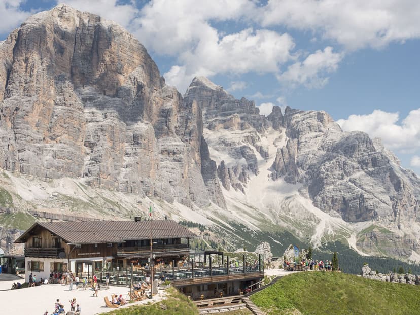
The first ascent of the day to the striking Lago di Limo will be enough to warm you up for the remainder of today’s journey. Following a relatively flat path across rocky terrain, you will eventually climb more steeply toward the Forcella di Lago mountain pass. A treacherous descent follows, meaning you have to be sure-footed. After that, you will gradually ascend across an upsloping rocky plateau and reach Rifugio Lagazuoi, perched on top of a ridge at 2750 meters of elevation overlooking the Falzarego pass.
17.8 km and 1700 m of elevation gain / 530 m of elevation loss
Rifugio Lagazuoi / Rifugio Scotoni
Leaving the route’s highest point, you will descend across a landscape marked by WW1 combats. Passing tunnels and former warehouses, the path takes you below the commanding Tofana di Rozes mountain peak toward the Falzarego pass. The pass connects to Cortina d’Ampezzo to the east. You will strike straight towards the south, though, and follow a forest path past the fascinating rock towers of Cinque Torri until you reach Rifugio Nuvolau. Boasting a spectacular view from its ridge, it allows you to see the peaks across the valley of Cortina.
9.3 km and 625 m of elevation gain / 780 m of elevation loss
Rifugio Nuvolau
Retracing yesterday’s steps along the ridge, you will find your way below it, crossing the scenic Passo Giau and its alpine meadows where cattle are grazing. You will continue upon an up-and-down path, surrounded by green meadows and an open view of the mountain tops. High above them all, the grandiose Monte Pelmo looms with its two peaks, and you will spend the night in its shadow at Rifugio Citta di Fiume.
15 km and 570 m of elevation gain / 1200 m of elevation loss
Rifugio Citta di Fiume
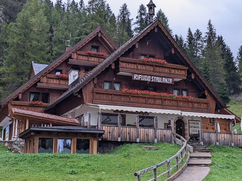
Beginning with a descent to Passo Staulanza, the day gets more demanding with a climb to the Forcella Coldai mountain pass. After that, you will traverse beneath the mighty Monte Civetta, one of the Dolomites’ symbols. Slowly descending beneath the mark of 1800 meters of elevation, you will reach Rifugio Vazzoler among the pine trees.
18 km and 940 m of elevation gain and 1130 m of elevation loss
Rifugio Vazzoler
Today’s stage is slightly shorter than some of the last ones, and it begins with a 300-meter descent before climbing to the Forcella del Camp mountain pass on the southern side of the Civetta massif. Steep rockfaces will keep you company from above as you follow the trail to Rifugio Carestiato, lying above Passo Duran, where you’ll descend tomorrow.
9 km and 620 m of elevation gain / 530 m of elevation loss
Rifugio Carestiato
The day begins with a descent to Passo Duran. Southbound, you will initially follow the road, but not for long. As you climb over the first ridge, a new valley will open up before you and uncover the traversing path beneath the Tamer Grande mountain peak. As kilometers pass, you will feel like you are entering a new world with grassy ridges all around you. You’ll end your day at Rifugio Sommariva al Pramperet.
12.8 km and 700 m of elevation gain / 650 m of elevation loss
Rifugio Sommariva al Pramperet
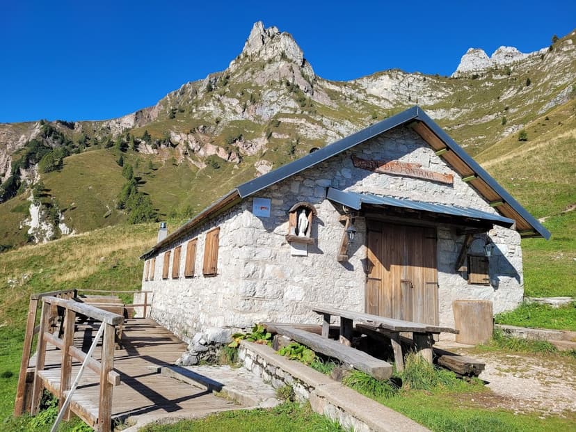
Today presents one of the last real challenges of Alta Via 1. Although the path is not technically demanding, crossing Cima de Zita still calls for some added caution, but following that climb, you only have to descend through a funnel-shaped landscape, past Rifugio Pian de Fontana, and continue downwards until you reach Refuge Furio Bianchet, your hut for the last night on Alta Via 1.
11 km and 800 m of elevation gain / 1400 m of elevation loss
Rifugio Furio Bianchet
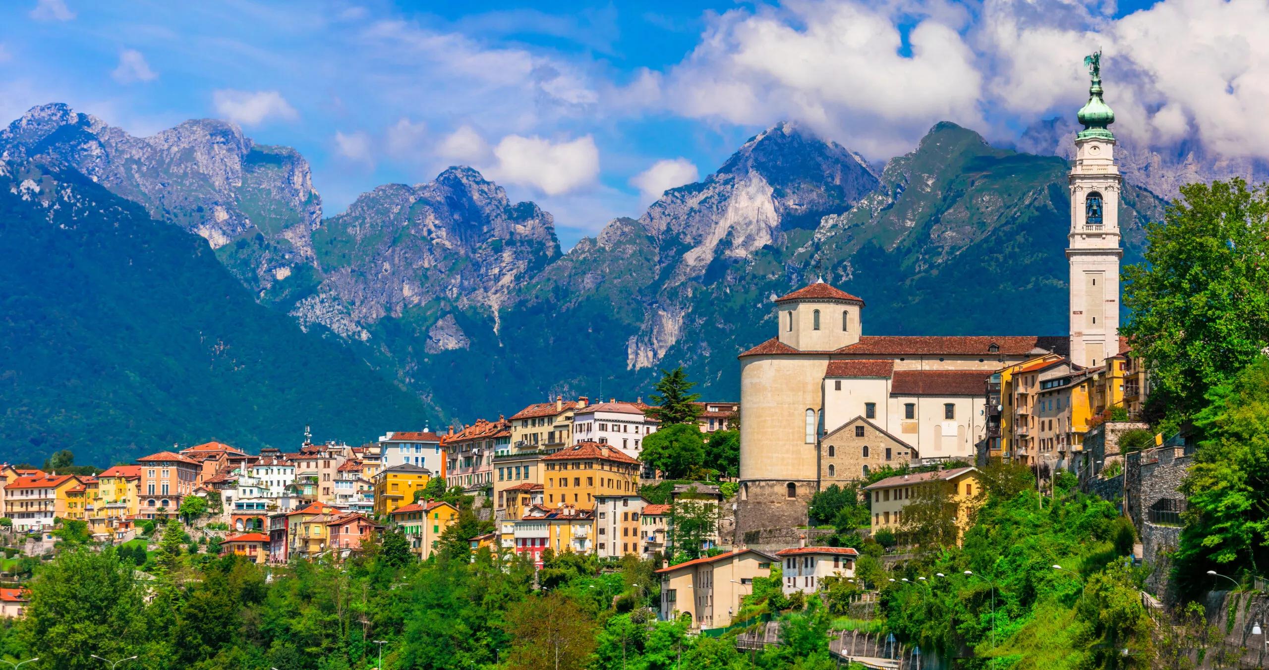
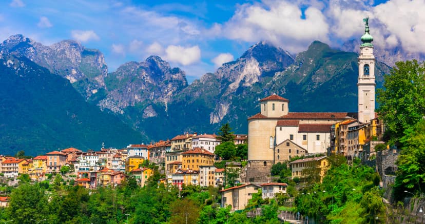
On your last day, you only need to descend to La Stanga in Val Cordevole, where you can catch a bus to Belluno. The path is not demanding as you will avoid the via ferrata section across the Schiara massif, making this stage a suitable last day to ease you back into life outside the mountains.
6.8 km and 45 m elevation gain / 850 m elevation loss
Pricing
Included in price
8x accommodations with breakfast
Tour design and organization
Booklet with detailed itinerary and route instructions
Service and support during your hike
GPS navigation with an easy-to-use app
Description
Embark on a journey through Italy’s stunning mountain landscapes with the Alta Via 1 hike. This region boasts an abundance of natural beauty and historical landmarks, including the remnants of World War I battles at places like the Falzarego mountain pass.
The hike spans nine stages, covering 120 kilometers and 6700 meters of elevation from Lago di Braies to La Stanga.
The trail takes you through an array of breathtaking sights, from the alpine meadows at Passo Giau to the striking Monte Civetta and the tower-like limestone formations of Cinque Torri.
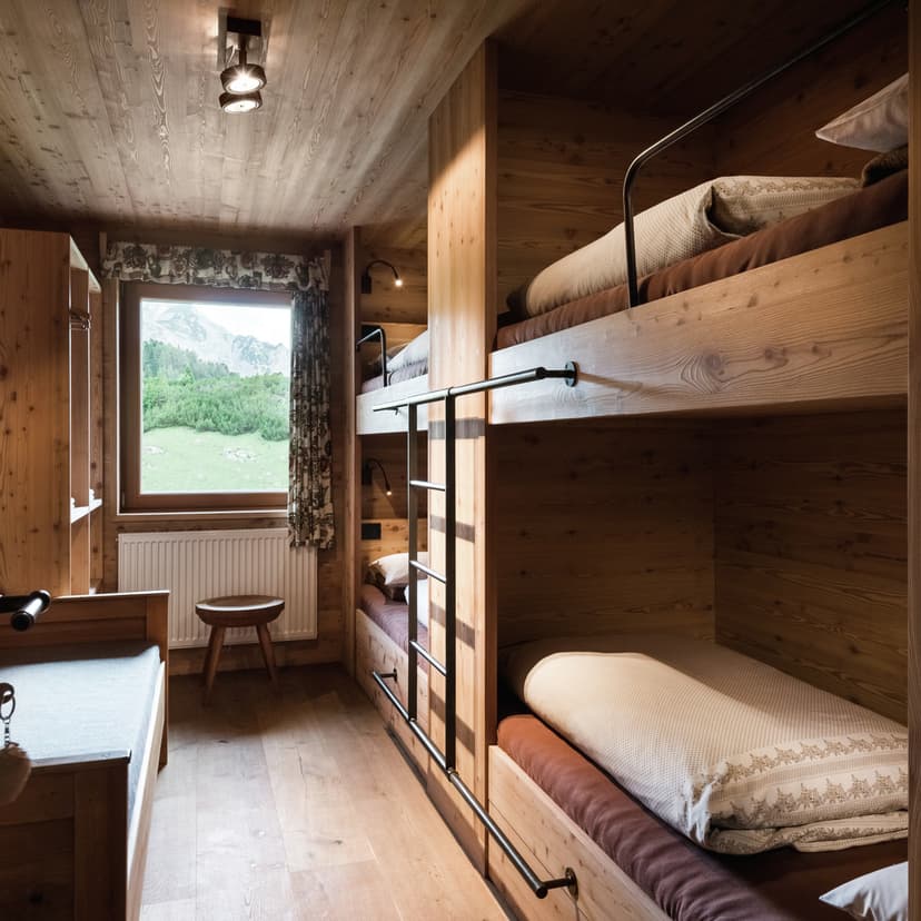
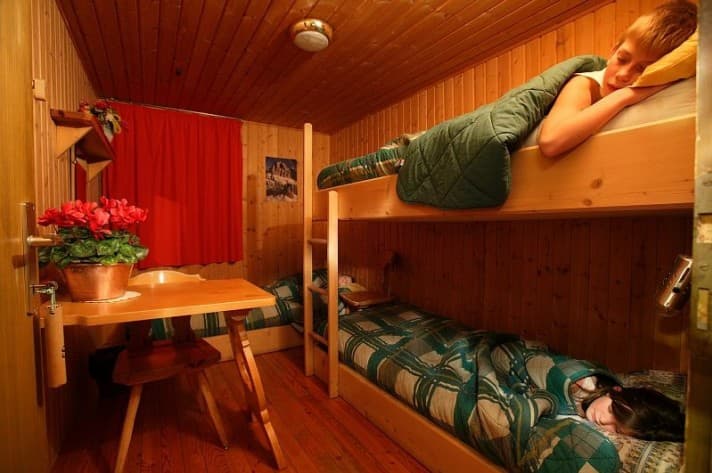
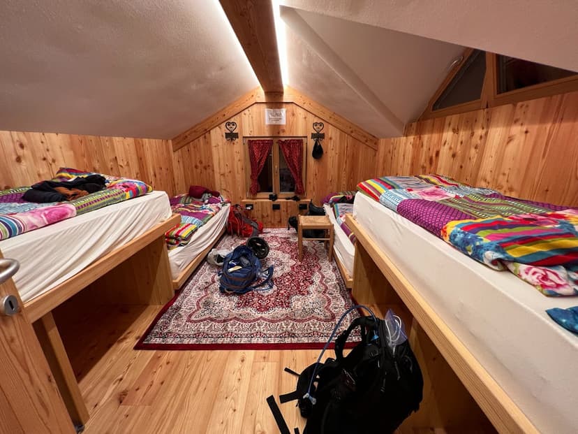
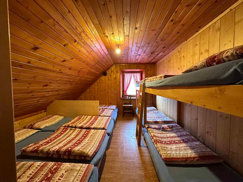
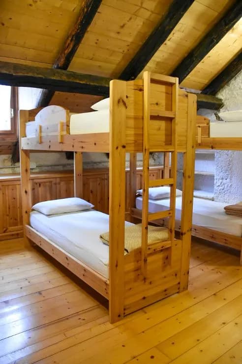
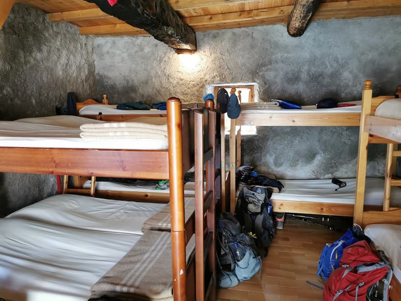
As you trek, you will often find yourself far from civilization, and staying in the mountain huts or ‘rifugios’ along the way will provide an authentic experience. These huts offer cozy accommodations and homemade Italian and Ladin dishes.
Our Alta Via 1 hut-to-hut tour includes all rifugio bookings, a GPS track of the planned course, and a written guide detailing the itinerary and daily highlights.
As Reinhold Messner said, “Every mountain in the Dolomites is like a piece of art.” Don’t miss out on the chance to witness this masterpiece firsthand.
Location
Things to know
Our tours are designed to cater to a broad range of people, but some days can be quite challenging, with long distances and significant elevation gain. We aim to minimize this as much as possible while ensuring a high-quality experience. To fully enjoy our tours, you should be accustomed to walking for 4-6 hours, overcoming around 600 meters of elevation gain.
However, Alta Via 1 hut-to-hut hikes and Tour du Mont Blanc are more demanding and require a higher fitness level. On these tours, you may need to hike up to 8 hours per day and tackle substantial elevation gain.
Yes, our hiking holidays are appropriate for children who are physically prepared and have a good balance. However, to guarantee the safety and enjoyment of our young participants, we suggest that they should be at least eight years old to join our tours.
Proper footwear is crucial for our walking tours. We recommend wearing sturdy hiking shoes with ankle support for all our hikes. The terrain can be uneven, rocky, and slippery. Wearing sneakers can be dangerous, especially if you are not accustomed to hiking on such surfaces, as they do not offer enough protection and support. Robust shoes also provide the necessary support when your legs get tired during long hikes.
Yes, we highly recommend booking in advance to secure your spot. The earlier you book, the better the chances are of getting your preferred options. If you book close to the start of the season or during the season, we may not be able to guarantee availability in the hotels and apartments. Therefore, it is best to make reservations as soon as possible to avoid any inconvenience.
It is essential to note that accommodations at the destinations of our walking tours are in high demand during the summer season. Therefore, early booking is crucial to secure your preferred type of housing. However, we assure you that we will always try our best to provide you with the most suitable lodging based on your preferences. Rest assured that we will do everything possible to ensure that your stay is comfortable and enjoyable.
Our tours are well-organized, and all the destinations are easily accessible and straightforward to navigate. Therefore, it is unlikely that you will require a guide. Our comprehensive handout will provide you with all the essential information while still allowing you the freedom of a self-guided holiday.
However, if you prefer to have a guide, please let us know, and we will make the necessary arrangements for you.
Most of the accommodations we provide offer vegetarian and vegan options for breakfast. Additionally, you will find no shortage of vegetarian and vegan menus in restaurants during the tour. However, it is worth noting that some mountain huts on Alta Via 1 or Tour du Mont Blanc may not offer vegan meals. In such situations, it is advisable to bring your own food to ensure that your dietary needs are met.
The best time to go on a walking holiday in Italy varies depending on the location you plan to visit. Destinations such as the Amalfi Coast, Cinque Terre, and Sicily are best visited during early spring and fall when the weather is pleasant, and the crowds are fewer.
However, in areas like the Dolomites or around Mont Blanc, hiking is not possible when there is snow high up in the mountains. Therefore, the hiking season in these areas is limited from late June to late September. It is advisable to plan your trip accordingly to get the best out of your walking holiday in Italy.
We can best advise you after receiving a filled-out inquiry form.
While hiking in light rain is manageable, it is important to note that hiking during a storm can be dangerous. It is advisable to schedule hikes early in the day during the summer months to avoid thunderstorms. However, if the weather forecast predicts severe weather, it is best to reschedule your walk for another day or explore different tour options.
Your safety is our top priority, and we will always work with you to find a suitable solution in case of inclement weather.
Most of the destinations for our walking tours in Italy have excellent public transportation. While renting a car can provide flexibility, several locations cannot be comfortably accessed by car. Instead, we suggest relying on public transport to reduce stress and have a more environmentally friendly experience.
We provide all the necessary information for buses, trains, and ferries to ensure that you can reach your destination with ease. By using public transport, we can also reduce our carbon footprint and contribute to a more sustainable travel experience.